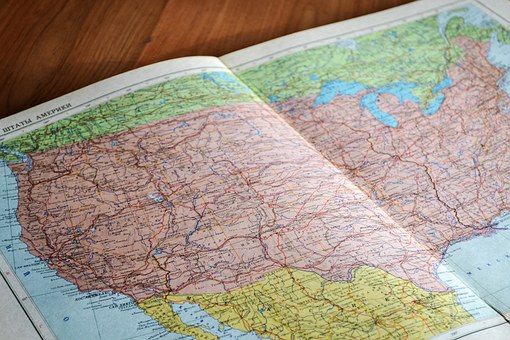
GIS or Geographic Information System is a computer system that is designed for analysing, keeping, capturing and processing spatial and geospatial data. The GIS technology allows the specialists to work with vector and raster data, perform complex calculations, and also visualize the results of the analysis.
HISTORY
The first instance of the use of GIS was recorded in 1854 in the field of epidemiology during the outbreak of cholera in London. Spatial Analysis helped the Epidemiologist and physician to determine the source of outbreak of cholera.
Then in early 20th Century photo zincography was developed which allowed the maps to be split into layers. This work was originally done on glass plates then later plastic films were introduced which made it lighter and easier to store.
Nuclear Weapon research led to development of computer hardware and this led to development of Computer Geographic Information System or CGIS.
Roger Tomlinson who is also known as the “Father of GIS” coined the phrase “geographic information system” in 1968 and he was the one who created the first computerized GIS due to his work on the Canada Geographic Information System in 1963. His work enabled the Canadian Government to implement its National Land-Use Management Program.
Modern Era for GIS
In the modern like everything GIS has also evolved and it now uses digital information through the use of various different methods. The most common form of digitization is the transference of a hard copy of map or survey plan into a digital medium by utilizing CAD program and geo referencing capabilities. The first technique of digitizing is the Heads Up digitizing which involves the tracing of geographical areas or locations by the use of aerial imagery using satellites, aircrafts and UAVs. The second technique of digitizing is Heads down Digitizing or also known as manual digitizing which involves special magnetic pen or stylus which feeds the information in the system to create an identical digital map.
Heads up Digitizing is often preferred more than Heads down digitizing but heads down digitizing is still useful for digitizing maps of low quality.
Applications
GIS can be used for:
- Web Mapping: The most common use of GIS in recent year is in mapping software such as Google Maps, Bing Maps and also various alternatives of these maps without which a person is unable to navigate and is completely dependent on these services.
- Addition of The Dimension of Time: The Scientists can examine the variations in Earth’s Processes over the days by feeding satellite data such as condition of Earth’s Surface, atmosphere, and subsurface into a GIS system.
- Education: The addition of GIS education system focused on developing spatial thinking. It also provides various advantages while teaching Geography as it provides analysis on real geographic data which also helps to raise various research questions between students and teachers.
- Local Government: The government has adopted GIS technology as a method to better and improve some of the areas of government organization such as:
i). Economic Development Department to manage the public sector and attract foreign investors
i i). Mapping of weather Risks
i i i). Planning for Parks and Recreation Department
i v). In Land Conservation, land management and Cemetery Management
